
From imagery to field intelligence.
An aerial image gives you a view of a field. Making that view useful means connecting it to location, analysis and a decision.
Give imagery a place.
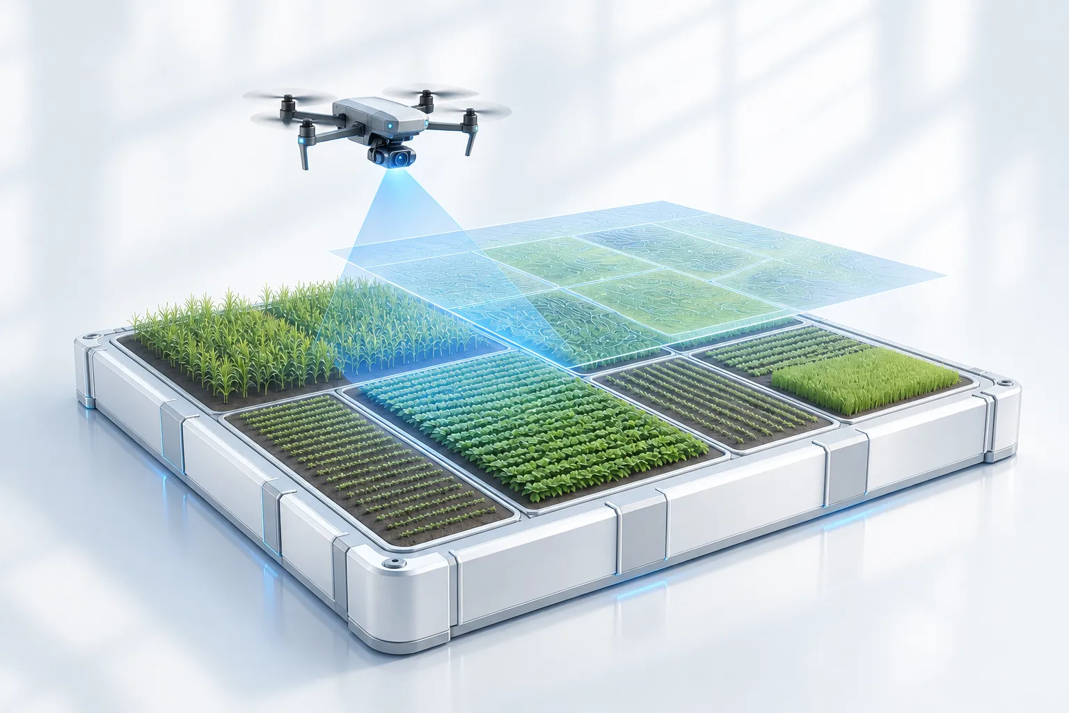
Plot IQ is an AI-native field-mapping platform. It captures drone and aerial imagery and stitches it into field-scale maps. That spatial context matters: an observation becomes useful when someone can locate it in the field and return to it.
Make variation visible.
Computer-vision models surface what is happening in the crop. The platform brings imagery and analysis into a field-mapping workflow, helping agronomists and growers work from evidence rather than guesswork. The image is the starting point, not the finished answer.
Build around the next action.
The product direction connects capture, mapping and analysis rather than treating them as separate tools. Plot IQ remains in development; the aim is to make field intelligence easier to interpret and use within the work people already do.
Capture the field. Map the evidence. Make the next decision clearer.
Based on our Plot IQ product overview.
Explore Plot IQ