
Skip to content

Two products. AI-native, built
for agriculture.

Plot IQ turns aerial imagery into field intelligence. Seed IQ connects the seed operation, from production to inventory. Two distinct tools, both in development.

Explore products
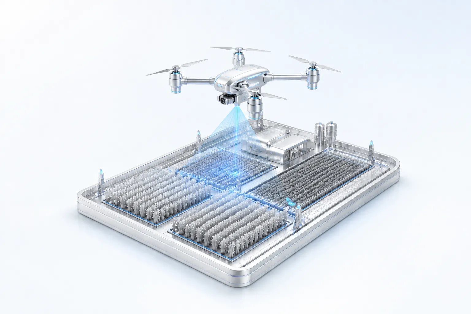
Concept illustration of a fully framed agricultural drone scanning a crop-field platform

One continuous film: a drone maps the field, the camera follows the mapping signal into a seed facility, and a package is filled, sealed, and dispatched. Concept visualization; both products are in development.

Plot IQ

For agronomists & growers

In development

Drone imagery to agronomic decisions.

AI-native field mapping. Drone and aerial imagery becomes orthomosaic maps, crop-health indices, and CV-driven insight.
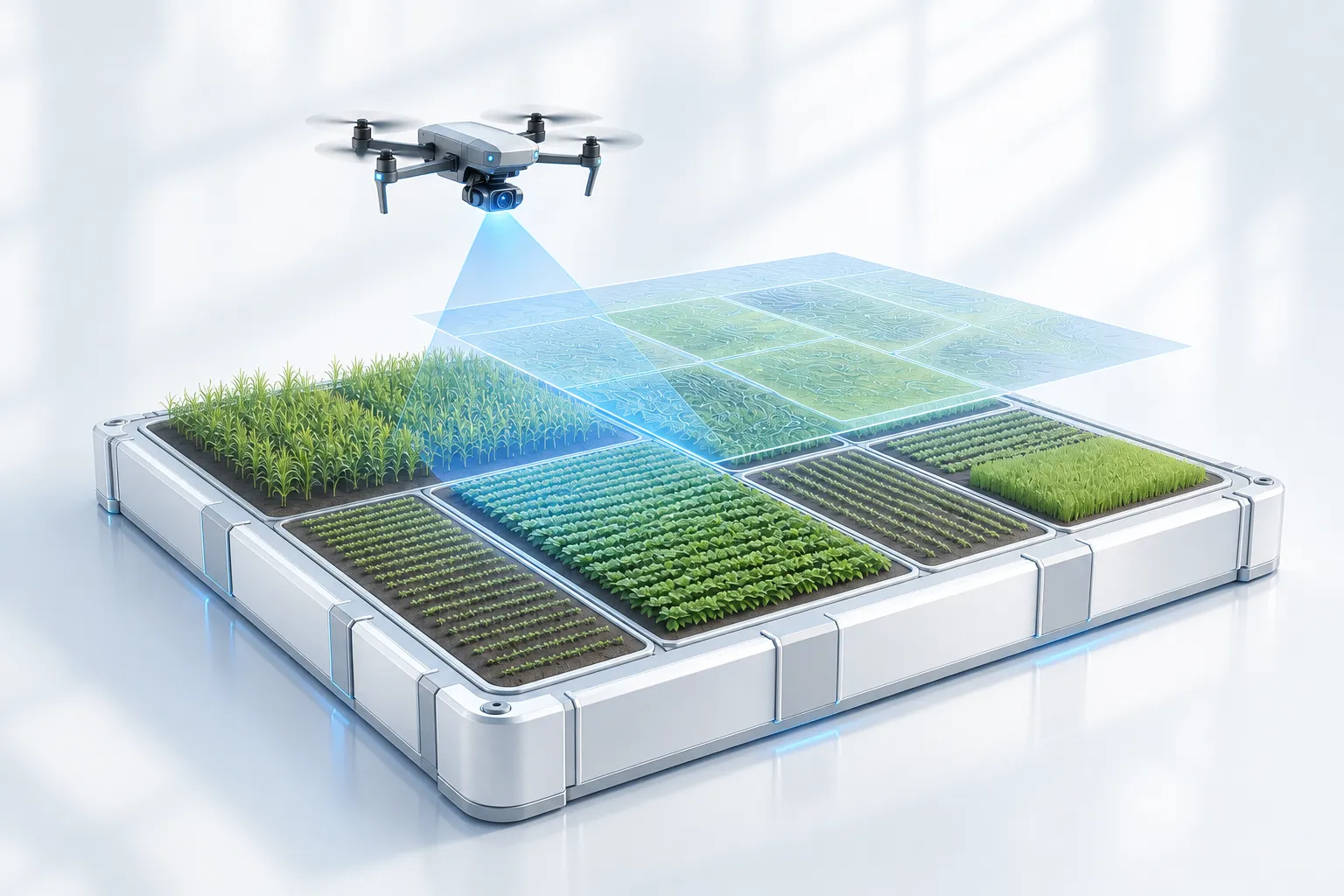
Metallic field platform with crop plots, a mapping drone, and a projected field-intelligence layer
Illustrative product view · In development
Orthomosaic mapping
Stitched, georeferenced field maps you can measure, annotate, and share.
Crop health
NDVI / NDRE vegetation indices flag stress and variability early in the season.
Stand & emergence
Automated stand counts and gap detection across the field, plot, or zone.
Capture imageryCV / ML modelsField analyticsDecisions & exports
Seed IQ

For seed operations teams

In development

One system for the whole seed operation.

Production, processing, inventory, quality, and genetics unified, with ML and analytics layered on top.

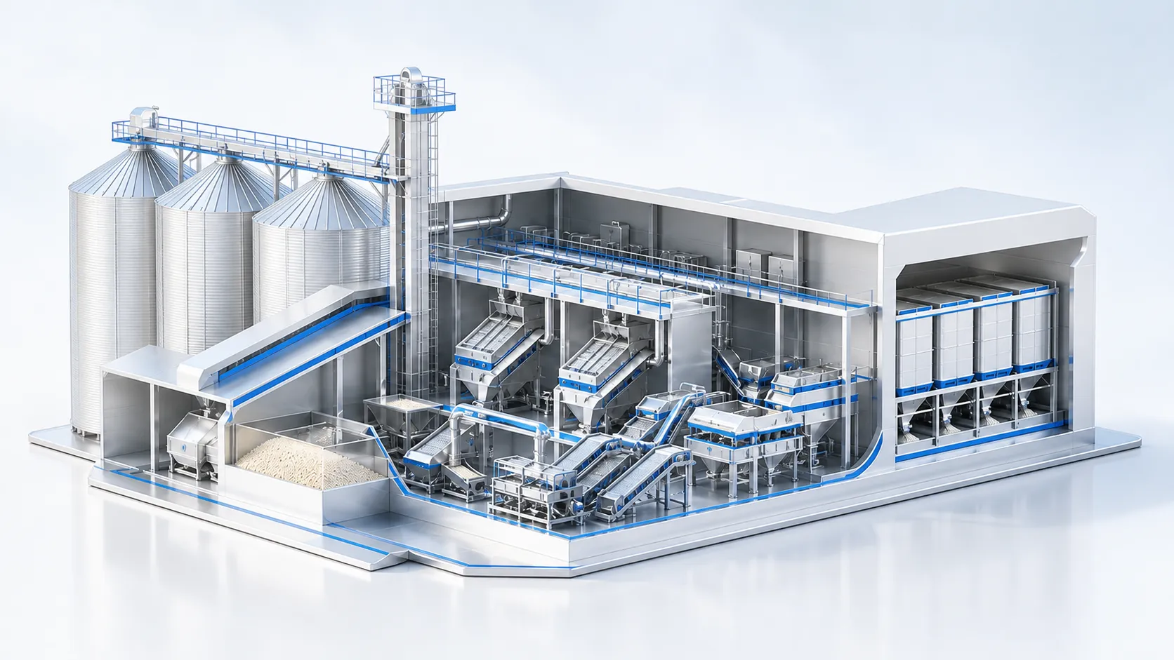
Concept illustration of connected seed processing operations
Seed operations concept · In development
Production & plots
Track production fields, lots, and crop years across the operation.
Genetics & traceability
Lineage, traits, and lot-level traceability across the seed lifecycle.
Forecasting & insight
Demand forecasting and ML-driven analytics on top of operational data.
Operational dataUnified platformML & analyticsForecasts & traceability

Want early access?

Both products are in development. Talk to us about what your operation needs.

Get in touch