Imagery capture
Drone and aerial imagery, multispectral and RGB, captured at field scale.
 Start a project
Plot IQ is an AI-native field-mapping platform for agronomists and growers. Turn drone and aerial imagery into georeferenced maps, crop-health indices and computer-vision insights.
See inside the platform
A workspace for agronomists and growers to inspect field variation, locate problems and plan the next action.
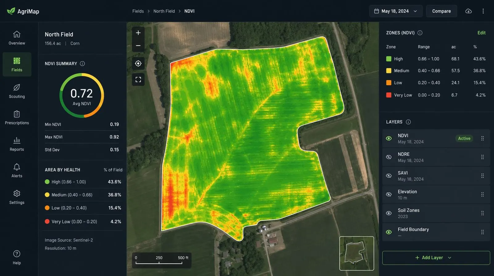
Six capabilities, organised around what you need to learn from the field.
Drone and aerial imagery, multispectral and RGB, captured at field scale.
Stitched, georeferenced field maps you can measure, annotate, and share.
NDVI / NDRE vegetation indices flag stress and variability early in the season.
Automated stand counts and gap detection across the field, plot, or zone.
Computer-vision models flag problem zones: weeds, damage, irrigation issues.
Outputs that feed variable-rate decisions and downstream agronomic workflows.
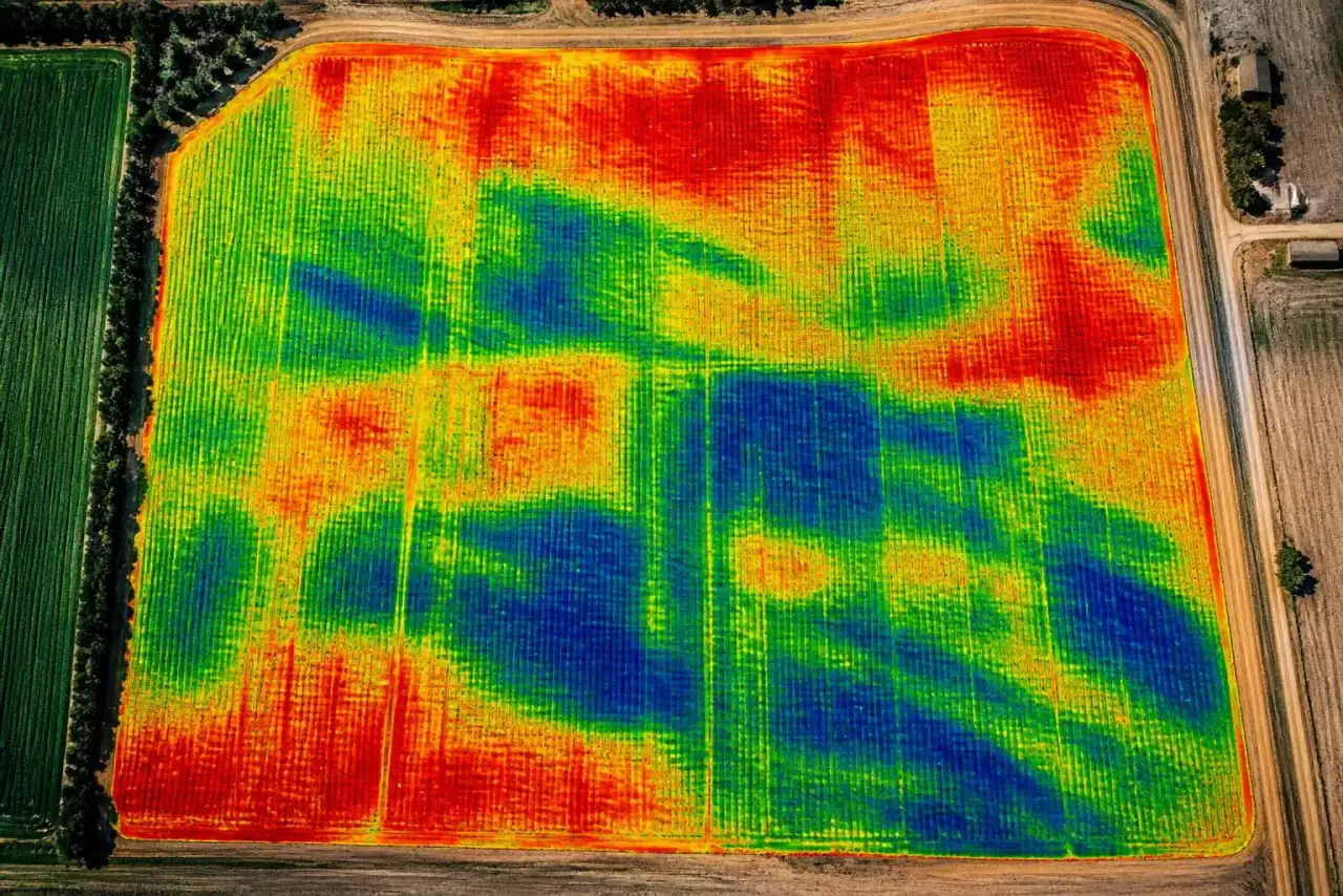
Drone · aerial
Inference
Maps · indices
VRA · share
Plot IQ is in development. If you run agronomy programs or fly fields, we’d like to hear what you need from it.
Discuss early access